


Webcams
Some links go to Nongovernmental websites 
- Alaska
- Arizona
- California
- Colorado
- District of Columbia
- Idaho
- Illinois
- Kentucky
- Maine
- Maryland
- Massachusetts
- Montana
- New Hampshire
- New Jersey
- North Carolina
- North Dakota
- Pennsylvania
- Tennessee
- Texas
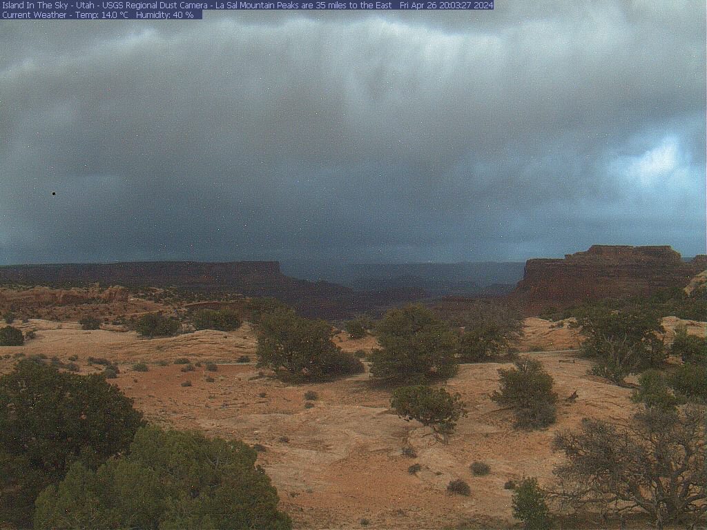
- Utah
- Vermont
- Washington
- Wyoming